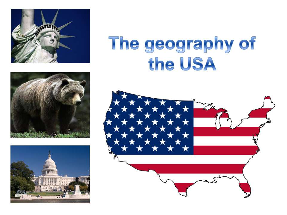
The geography of the USA

- Рубрика: Презентации / Презентации по английскому языку
- Просмотров: 190
Презентация для классов "The geography of the USA" онлайн бесплатно на сайте электронных школьных презентаций uchebniki.org.ua
The USA is the 4th largest country in the world (after Russia, Canada and China). It is situated in central North America and stretches from the Pacific to the Atlantic Ocean.
It borders on Canada in the north and Mexico in the south and has a sea-border with Russia. It also includes Alaska and Hawaii. The total area of the country is 9.4 million square kilometers. The enormous size of the country influences the diversity of landscape, climate and even people.
The USA is a federal republic, a union of 50 states. The capital of the country Washington is situated in a special federal area called the District of Columbia. .
The West is a mountainous area of the Rocky Mountains, the Cordillera and the Sierra Nevada. The highest peak is Mount McKinley in Alaska (6,000 meters).
As compared with the Appalachians in the east, the Rocky Mountains are sharp and rugged, over 4,000 meters high, rich in gold, copper, lead, silver and other minerals.
The longest rivers are the Mississippi (6,400 kilometers), «the father of waters», the Missouri (1,600 kilometers) «too thin to plough and too thick to drink», the Colorado wild, restless and angry, the Columbia full of quiet dignity and the Rio Grande (3,200 kilometers), a national boundary between the USA and Mexican sizes.
The Colorado forms the Grand Canyon, which strikes one's imagination as a fabulous phenomenon of nature. Its perpendicular walls go up to 1,500 meters above the river level. The USA has thousands of lakes of all kinds
The Great Lakes make up the largest group; they are the greatest collection of fresh water lakes in the world with the total area equal to that of Great Britain. Here the famous Niagara Falls precipitate from the height of 50 meteres. Among salty lakes the Great Salt Lake in Utah and the Salton Sea in California are the most famous. They are rich in salt (6,000 million tons).


